

The world´s best bikes and cycling gear!
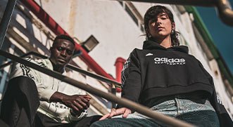

Find the perfect fit for your own style!
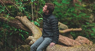

Your high-quality and professional outdoor equipment!
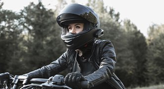

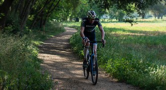
Ride more and drive less, all the best brands for you!
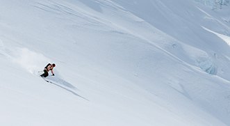

Get ready for your winter holiday in the snow!
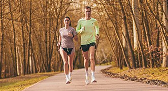

The perfect store for all runners, from the most casual to the most experienced.
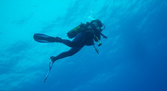

The best dive brands available in the most specialized shop.
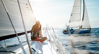

Navigation, fishing and nautical. Choose from the most specialized equipment.


Fashion, sports and toys for children and babies.
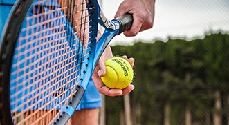

Only the best tennis and padel equipment lead to victory!
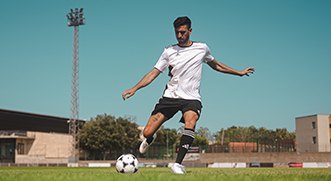

Score the most epic goal accompanied by the most specialized material for football.
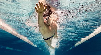

The most amazing swimming equipment.
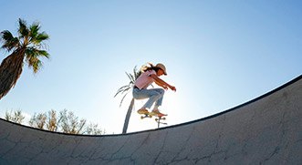

Everything you need to face all your most extreme challenges.
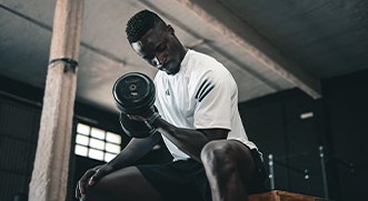

The best selection for all fitness enthusiasts!
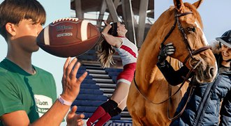

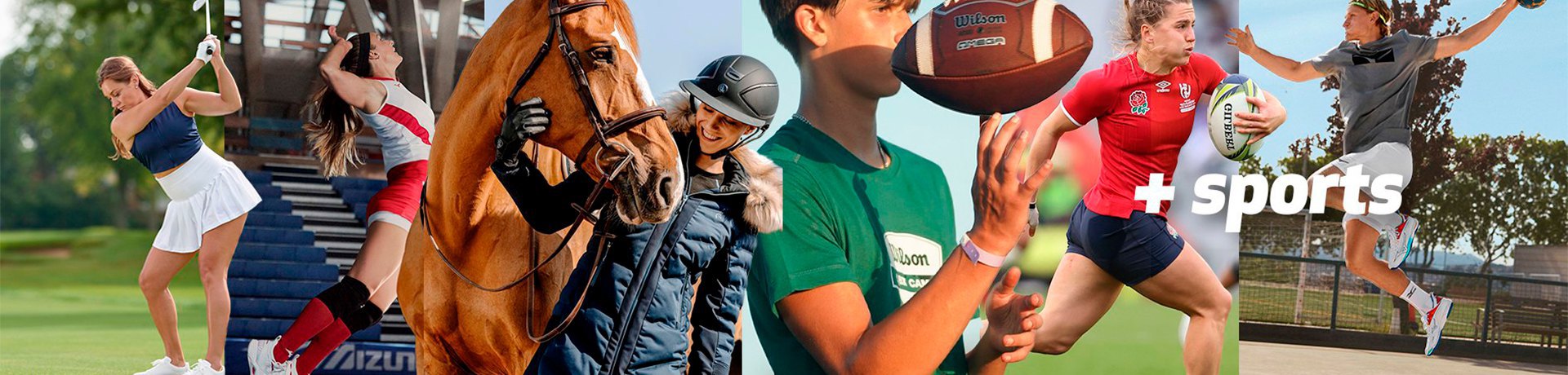
10 other sports by tradeinn


